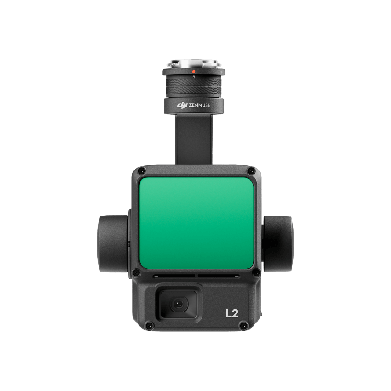
Integrated LiDAR Solution
In Stock
Zenmuse L2 integrates frame LiDAR, a self-developed high-accuracy IMU system, and a 4/3 CMOS RGB mapping camera, providing DJI flight platforms with more precise, efficient, and reliable geospatial data acquisition. When used with DJI Terra, it delivers a turnkey solution for 3D data collection and high-accuracy post-processing.
Integrated LiDAR Solution
Supported by its powerful hardware, L2 can allow for a precise scan of complex subjects within an extended range and faster point cloud acquisition. During operations, users can preview, playback, and process point cloud models on-site, with Task Quality Reports generated by DJI Terra, offering a simple, one-stop solution to improve overall efficiency. This enables users to achieve high-precision point cloud results with one-stop post-processing.
High Precision
Vertical Accuracy: 4 cm;
Horizontal Accuracy: 5 cm,
Exceptional Efficiency
2.5 km2 covered in a single flight,
Superior Penetration
Smaller laser spots, denser point clouds,
Detection Range
250m @10% reflectivity, 100klx
450m @50% reflectivity, 0klx,
5 Returns,
Turnkey Solution,
Point Cloud Live View,
One-Click Processing on DJI Terra
Only logged in customers who have purchased this product may leave a review.

Ghaziabad’s trusted home for authentic Sony innovation. Premium electronics and expert service, delivered with excellence.

Reviews
There are no reviews yet.